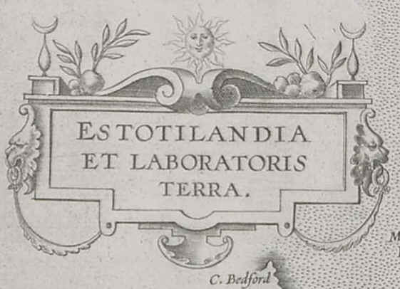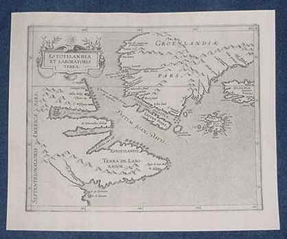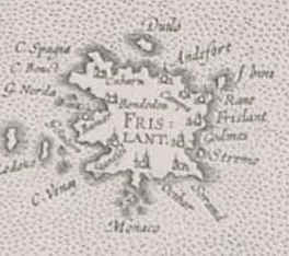

1597 ESTOTILANDIA ET LABORATORIS TERRA by Cornelius Wytfliet from his atlas "Descriptionis Ptolemaicae Augmentum published in Louvian, Belgium. This is the most pristine and clear map of its kind that this dealer has ever encountered. There are no water marks, tears or repairs. This map clear shows the Lost Island of Friesland before it sank during the late 1690's. The map itself measures 29 cm. x 23 cm. Listed for $1250.00. S & H with Insurance, add $18.00.


The capital of Friesland was Bondendia located along the western coastline. You will notice "Bondendia" just above the FRIS. This is one of the most mysterious islands to ever exist in our recent history.